After exploring Salem‘s Riverfront City Park in the rain, I drove across the Marion Street Bridge, westward on Oregon State Route 22, and south on SR 99W to Corvallis, the home of Oregon State University. OSU is a public research university with over 31,000 students. That includes nearly 11,000 students from other states and 3,500 students from other countries. The university has over 200 academic programs. The school’s web page asserts that the forestry (#2) and oceanography (#3) programs are world ranked, and the robotics, online, and big data programs are in the top ten in the country. Looking through the University’s web pages reminded me how much I enjoyed school. Hmm, maybe I could get a degree in oceanography or robotics.
Because it was a weekend, not many folks were around the University, and after driving around a bit, I headed west through the Oregon Coast Range to Newport, on the Oregon Coast.
Two-lane US 20 was wet, but without snow, though snow filled in the spaces under the fir and pine trees that lined the highway. US 20 starts at Newport and ends 3,365 miles later on the east coast in Boston. US 20 is the longest road in the country. A history of the numbering of US 20, presented by the Federal Highway Administration, is here.Traveling US 20 across the country would be an outstanding way to experience the US. Oregon’s rugged coast and mountain ranges, the high plains of southern Idaho where the Snake River courses, the peaks of Montana and Wyoming where the buffalo roam, Midwestern corn fields of Nebraska on through Indiana, on and on across Ohio, Pennsylvania, New York, and Massachusetts. A journey across the country on US 20, mountains and plains, the coasts and the heartland, is the story of America.
My journey from Salem to Newport on one short section of US 20 on the Corvallis-Newport Highway was perhaps just a paragraph of that national story. It’s an hour and a half and 82 miles from Salem to Newport. I had lunch in Newport, then set out to explore a bit.
Newport straddles the Yaquina Bay Shellfish Preserve at the mouth of Yaquina Bay. The bay is productive for private and commercial crabbing. The entire Oregon coast is closed to recreational harvesting of razor clams.
The Yaquina Bay Bridge bounds across the Yaquina Bay in a series of balletic arches. The arched bridges project both lasting strength and classical grace.

I drove across the bridge, south on US 101, to the parking lot of a motel, mostly just to drive across the bridge. Take the time to travel south on 101 if you can. US 101 travels a variety of landscapes through cities and towns and along rugged coastlines, from Los Angeles to the northwest tip of the Olympic Peninsula in Washington, and makes a button hook back south to Tumwater, Washington, near Olympia, a distance of 1,550 miles, a series of West Coast stories.
Back on the north side of the Bay, I took some shots of the Pacific and the Yaquina Bay Lighthouse in the Yaquina Bay State Recreation Site, on the west side of the highway. As you drive north from the bridge, take the first exit to your right and loop down and under the bridge to visit the state park.
The Yaquina Bay Lighthouse stands high on a hill above the state Recreation Site parking lot, just west of the commercial buildings that line US 101. The Lighthouse can be reached on foot from the parking lot by walking up a path. The path is smooth, but could be a bit steep for mobility limited folks. It’s possible to drive to a parking lot on the east side of the lighthouse by driving north along the bluff through the park to Government Street, turning right, and making the first right back into the park. Visitor hours and a brief history of the lighthouse, believed to be the oldest building in Newport, are here.

I took some shots of the lighthouse and observation tower from the picnic area in the park. To improve my perspective, I climbed onto a picnic table. It was a showery, wet day, and the table was slippery, but I climbed up anyway. As I climbed down, a park visitor walked down the path from the lighthouse and told me that he and others looking out the windows were a bit concerned about the possibility of my falling on my table top. I assured him I was safe, though thinking about it later, I suspect he was right to be a bit concerned. When I processed the shots later on my large desktop monitor, I could see him through the window, waving at me. Nice guy.
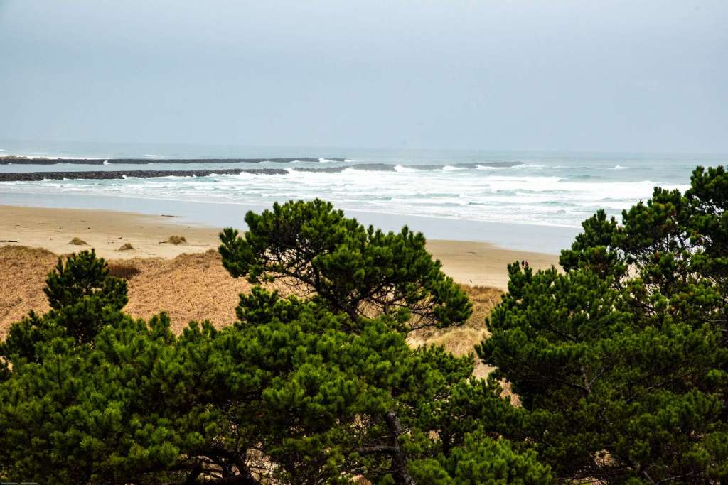
This was near the end of January, 2019, and the Oregon Coast was rainy gray. Everything was wet. There was a bit of a wind from the west, and the Pacific was intent on pounding the sandy beach into submission. Phalanxes of waves rolled in, galloping from the west across Yaquina Bay.


I left the waves of Newport in mid-afternoon, and headed north on US 101, the North Coast Highway, bound for Astoria. That leg of my journey will be the subject of my next post. I hope you come back and read some more. Tom
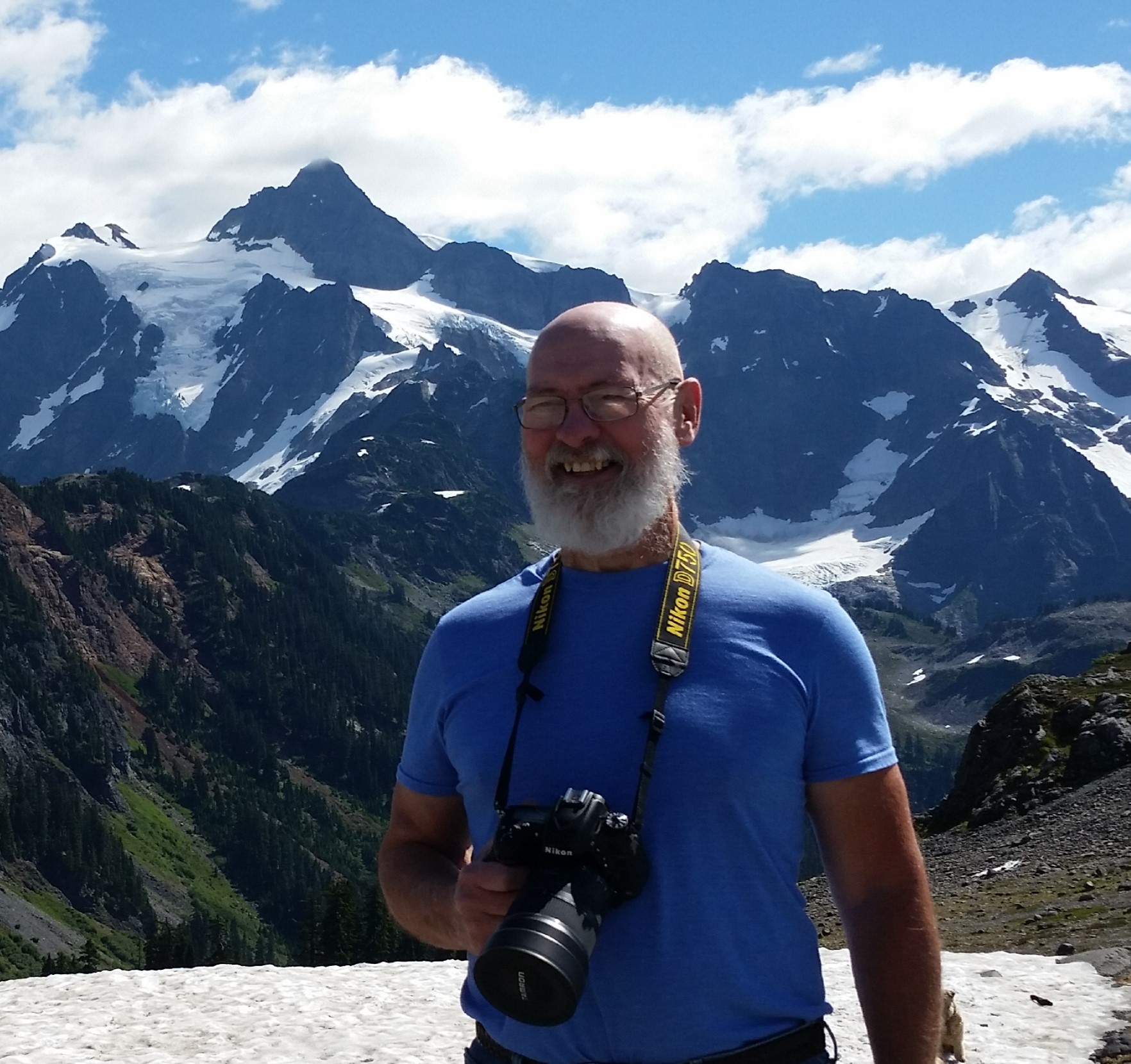
All of the images in this blog are copyright (C) Tom Cochran Photography.
Categories: Oregon Journeys, Salem, OR